
 For liveaboard boaters, winter on the canals is a season of preparation, vigilance, and small rituals that keep the hull, pipes, and spirits intact.
Reading the Landscape: How Field Boundaries Tell the Story of Rural Britain
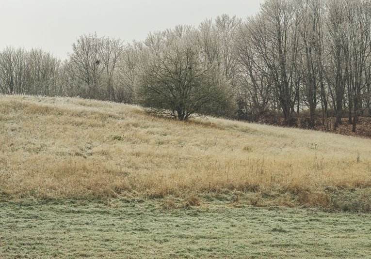
To most people, a field boundary is simply a fence or a hedge, something to be crossed or walked beside. To anyone interested in rural heritage, it is a document. The shape, size, and construction of a boundary can reveal when a field was enclosed, what it was used for, and who owned it. The landscape we see today is not natural; it is the result of centuries of decisions, and the boundaries are where those decisions are written most clearly.
Take the hedgerow. A hedge that runs in a long, straight line is likely to be the product of parliamentary enclosure, when thousands of acres of open field were divided up in the eighteenth and nineteenth centuries. A hedge that curves gently, following the contour of a hill or the edge of a stream, is probably older, perhaps medieval or even earlier. The mix of species in a hedge can also be telling. A hedge with many different shrubs, such as hawthorn, blackthorn, hazel, and field maple, is generally older than one dominated by a single species, because it has had more time to accumulate diversity.
Walls, Ditches, and Banks
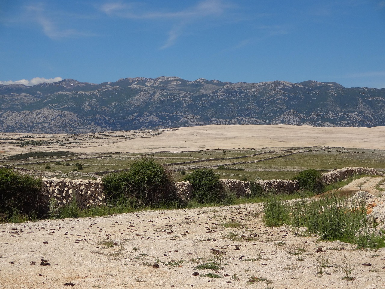
In the uplands of the north and west, stone was more plentiful than timber, and so boundaries were built rather than grown. Dry stone walls, laid without mortar, are among the most distinctive features of the British countryside. Each wall is a small feat of engineering, with a foundation of large stones, a core of smaller ones, and a top course of coping stones set on edge. The style varies from region to region, reflecting the local stone and the preferences of the wallers who built them. Some walls have stood for three hundred years or more, repaired and rebuilt by generations of farmers.
In lowland areas, ditches and banks were often used to mark boundaries and drain land at the same time. A ditch with a raised bank on one side is a common sight in the Fens and the Somerset Levels, and it tells a story of water management as much as of ownership. These earthworks are easily overlooked, but they are as much a part of the heritage as any building.
What Boundaries Can Teach Us
Reading boundaries is a skill that anyone can develop. The first step is simply to look. Notice where a hedge changes direction or species. Look for old pollarded trees, which were once cut on a cycle to provide wood and are often relics of a much older boundary. Check for ridges and furrows in a field, which show how it was ploughed before modern machinery. These details are not random; they are evidence.
Maps help too. Comparing a modern map with an old tithe map or enclosure award can show exactly when a boundary was created and how the field pattern has changed. Many county record offices hold such maps, and a surprising number are now available online. With a little patience, it is possible to trace the history of a single field back through two or three centuries.
Why does this matter? Because boundaries are a reminder that the countryside is not a museum piece but a working landscape, shaped by people who had to make a living from it. Every hedge and wall represents a choice about how to use land, and those choices are still being made today. To understand them is to understand something essential about rural life, past and present. The next time you walk beside a hedge, look closely. It may have more to tell you than you expect.